
 Ha Stone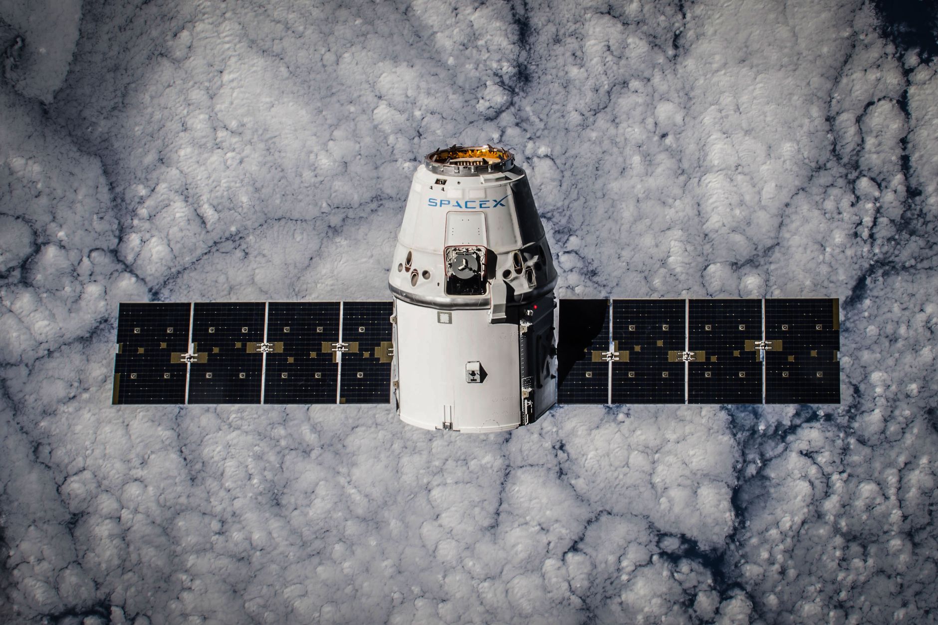
India imaging satellite launch has successfully taken place, marking a historic milestone for the country’s space exploration efforts.
Overview of the Imaging Satellite
The recent launch of India’s first-ever imaging satellite in geo-orbit marks a significant milestone in the nation’s space exploration efforts. This state-of-the-art satellite is designed to enhance India’s capabilities in various domains, including agriculture, urban planning, and disaster management.
The imaging satellite features advanced technology that allows it to capture high-resolution images of the Earth’s surface. The satellite will provide critical data to support a range of applications, from monitoring crop health to urban development and environmental protection.
Key features of the imaging satellite include:
- High-resolution imaging: Capable of capturing detailed images with exceptional clarity.
- Real-time data transmission: Facilitating immediate access to critical information for decision-making.
- Multi-spectral capabilities: Enabling analysis across various wavelengths for diverse applications.
As India continues to expand its satellite program, the successful launch of this imaging satellite underscores the nation’s commitment to leveraging space technology for sustainable development and growth.
Significance of Geo-Orbit for Satellites
The launch of India’s first-ever imaging satellite in geo-orbit marks a significant milestone in the nation’s space exploration efforts. The geo-orbit position allows satellites to maintain a fixed position relative to the Earth’s surface, ensuring consistent coverage of specific areas. This is particularly valuable for applications such as disaster management, agriculture, and urban planning.
There are several key advantages to placing imaging satellites in geo-orbit:
- Continuous Monitoring: Satellites in this orbit can provide real-time data, allowing for timely responses to natural disasters and environmental changes.
- High Resolution: Imaging satellites can capture detailed images of large areas, enhancing the ability to analyze land use and urban development.
- Cost-Effectiveness: With fewer satellites required for comprehensive coverage, the operational costs can be significantly reduced.
The successful launch of the imaging satellite is a testament to India’s growing capabilities in space technology, reinforcing its position as a leader in satellite applications for societal benefits.
ISRO’s Role in Space Innovation
The Indian Space Research Organisation (ISRO) has played a pivotal role in advancing space innovation, particularly through its recent success in the India imaging satellite launch. Established in 1969, ISRO has consistently pushed the boundaries of technology and exploration, positioning India as a key player in the global space arena.
With a mission to harness space technology for national development, ISRO has developed a series of satellites that cater to various sectors, including agriculture, urban planning, and disaster management. The launch of the imaging satellite marks a significant milestone in this journey, showcasing India’s capability to deploy sophisticated technology in geo-orbit.
ISRO’s dedication to research and development has led to numerous innovations, such as:
- Advanced imaging systems for high-resolution data
- Efficient launch vehicles capable of carrying multiple payloads
- Collaborations with global space agencies to enhance knowledge exchange
As India continues to expand its presence in space, ISRO remains at the forefront, driving progress and inspiring future generations of scientists and engineers.
Future of India’s Space Missions
The future of India’s space missions looks promising, especially following the successful launch of India’s first-ever imaging satellite in geo-orbit. This milestone not only showcases the capabilities of the Indian Space Research Organisation (ISRO) but also sets the stage for future advancements in satellite technology.
As India continues to develop its space program, several key areas are expected to see significant growth:
- Enhanced Earth Observation: The imaging satellite will provide critical data for agriculture, urban planning, and disaster management.
- Technological Innovations: Continued research and development will likely lead to new technologies that improve satellite efficiency and data accuracy.
- International Collaboration: India may engage more with global partners, sharing expertise and resources for joint missions.
- Commercial Opportunities: The private sector will be encouraged to participate, bolstering India’s position in the global space market.
In conclusion, the successful launch of the imaging satellite marks a pivotal moment for India, paving the way for future endeavors that will further enhance the nation’s role in space exploration and satellite technology.
International Reactions to the Launch
The successful launch of India’s first-ever imaging satellite in geo-orbit has garnered significant international attention and praise. Leaders and space agencies around the world have reacted positively, highlighting the achievement as a testament to India’s growing capabilities in space technology.
Countries such as the United States, Russia, and Japan have issued statements commending the Indian Space Research Organisation (ISRO) for its innovative approaches and successful execution of complex missions. Notably, the launch has been hailed as a critical step in enhancing global satellite imaging capabilities, offering opportunities for international collaboration.
- United States: NASA officials expressed admiration for ISRO’s dedication and technological advancements.
- European Space Agency: Representatives noted the potential for partnerships in satellite data sharing and research.
- Japan: Japanese space authorities congratulated India and emphasized the importance of regional cooperation in space exploration.
As the international community recognizes India’s imaging satellite launch as a proven success story, it sets the stage for future collaborations and advancements in global space initiatives.
Challenges Faced During Development
The development of India’s first-ever imaging satellite in geo-orbit was not without its challenges. The Indian Space Research Organisation (ISRO) faced several technical and logistical hurdles that tested their expertise and resilience.
- Technical Challenges: Designing a satellite capable of capturing high-resolution images while functioning effectively in geo-orbit required advanced engineering solutions. The complexity of the imaging systems posed significant risks during the development phase.
- Budget Constraints: Like many national space programs, ISRO had to work within a limited budget, necessitating innovation and efficiency to meet project goals without compromising quality.
- Environmental Considerations: The satellite had to be designed to withstand harsh space conditions, including radiation and temperature fluctuations, which added to the development timeline.
- Collaboration with International Partners: Working alongside global partners brought its own set of challenges in terms of technology transfer and coordination, affecting timelines and resource allocation.
Despite these obstacles, the successful launch of the imaging satellite has been hailed as a monumental achievement for India, underscoring the nation’s growing capabilities in space exploration.
What This Means for Earth Observation
The successful launch of India’s first-ever imaging satellite in geo-orbit marks a significant milestone in Earth observation capabilities. This achievement not only enhances India’s position in the global space arena but also opens up new avenues for data collection and analysis.
With improved imaging technology, the satellite will enable accurate monitoring of various environmental phenomena, agricultural trends, and urban development. The data generated will be invaluable for:
- Agricultural Management: Farmers can access timely information for better crop management.
- Disaster Management: Authorities can respond more effectively to natural disasters through real-time monitoring.
- Urban Planning: City planners can utilize detailed satellite imagery to design sustainable urban areas.
Furthermore, the advancement in satellite technology enhances India’s self-reliance in space exploration and strengthens its ability to contribute to international initiatives on Earth observation. The launch of the imaging satellite is a testament to the dedication and innovation of ISRO, paving the way for future missions and collaborations in space research.
In summary, the India imaging satellite launch signifies not just a technological achievement, but a commitment to leveraging space for the betterment of society.
The India imaging satellite launch has not only enhanced the country’s capabilities in earth observation but also strengthened its position in the global space community. With each successful mission, the India imaging satellite launch demonstrates the nation’s commitment to advancing technology and innovation.
Photo by SpaceX on Pexels